 TANDHURDesa
Village Administrative Data Management
TANDHURDesa is an integrated technology system designed to monitor village conditions and community well-being by combining remote sensing technology with active community participation.
Learn MoreVillage Administration Panel
Provides an intuitive dashboard for village officials to manage data, programs, and population information more efficiently.
Residents Voice Platform
Enables direct community engagement, allowing residents to report issues, provide feedback, and contribute to village development planning.
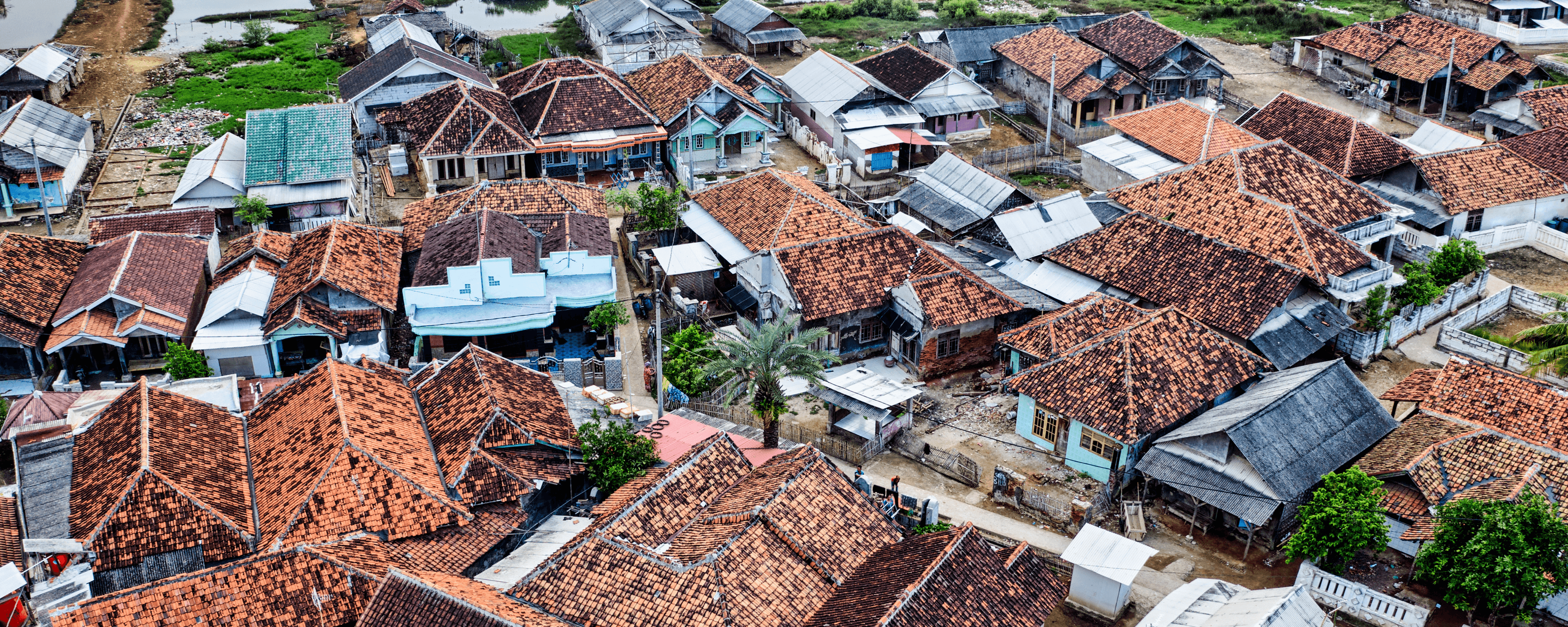
Village Spatial Information (VSI)
Offers accurate geospatial data to support infrastructure planning, resource allocation, and environmental management at the village level.
Integrated Monitoring System
Combines remote sensing technology and community participation to continuously monitor village conditions in real time.
Data-Driven Decision Support
Supports evidence-based policymaking by delivering visualized, structured data for more responsive and transparent governance.